

 Deutsch
 Русский

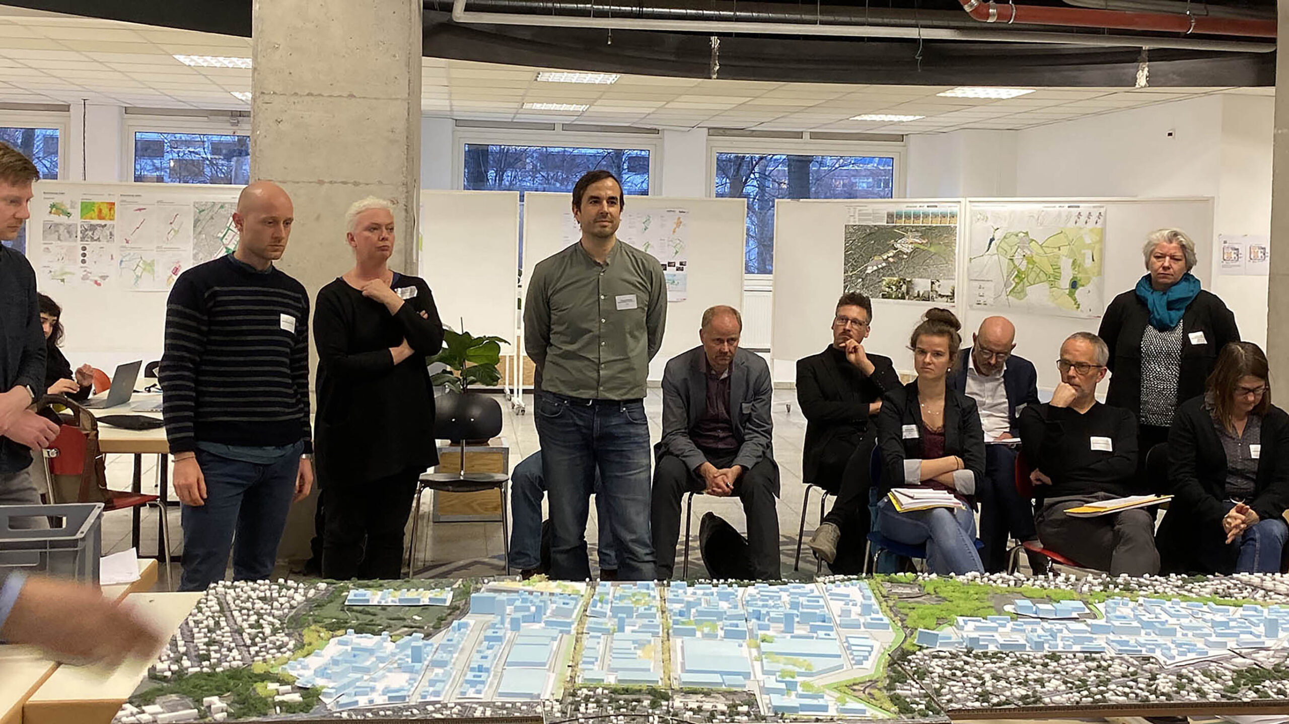


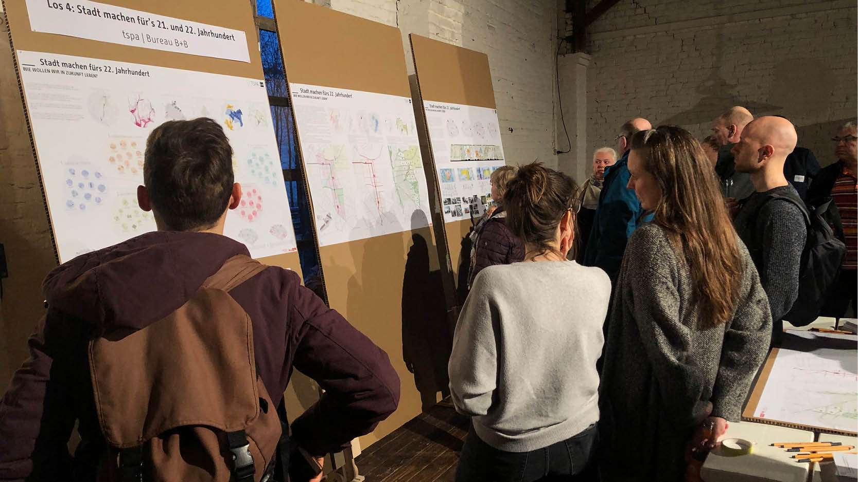

Berlin is growing. The Senate has therefore designated development areas in the city to create 135,000 new apartments, including Blankenburger Süden. In the framework planning for Blankenburger Süden, TSPA is investigating the future development of the 430 ha area between Blankenburg and Heinersdorf in cooperation with B+B Urbanism & Landscape Architecture.
A framework plan can only work if there is agreement and clarity about the qualities in addition to key figures. These are the six goals that our proposal aims to achieve: Nature takes precedence, building resilience to climate change, creating community, creating flexible and adaptable typologies, promoting diversity for peaceful coexistence, creating urban density and sustainable mobility for a better quality of life.
The framework plan follows clear rules that take into account the context – development, landscape, use, connections – and hierarchy of spaces. It suggests higher densities at the centres, with the differentiated core area along the tram boulevard, while and openness and small scale towards the border with a landscape. The area is divided into four sub quarters, which are linked via a green public transport axis, where public and local supply facilities are located. Four quarters with distinguished identity, as well as two new school locations, and a production focus in the west, which sensibly interlinks learning, business, green spaces, and living, was created.
The adjacent commercial settlement in the west allows secures an efficient traffic system, which is separated from residential areas that open up to the landscape in the northeast. Additional services – workshops, cafés, day-care centres – enrich the life in each block. Day-care facilities and educational institutions are positioned in a way to create opportunities for both, existing and new neighbourhoods and can be easily reached by public transport. The community school in the north is linked as a point of attraction with the adult education and music academy as well as a district learning workshop and a parents’ café.
Goal 1 – Nature comes first
Green spaces, from very small to very large, are an integral part of the urban structure: Our planning takes the existing landscape between the openness of the Malchow floodplain, the city oasis of allotment gardens, and the wetlands of the Panketal and the two flow ditches and the structure of the former sewage fields, the existing rows of trees and water bodies as a starting point for the development of the area. Roofs, gardens, courtyards, food gardens, playgrounds and open spaces form neighborhoods, while superordinate landscape links and parks convey a feeling of vastness. Nature is always in sight and on foot and can be actively and diversely reached and experienced; biodiversity is integrated on all scales: Living together with flora and fauna. The preservation of natural areas is made possible by strategically placed higher building densities. They serve as recreational areas and ensure a high quality of life for the residents.
We create a strong network of green links at the different hierarchical levels of the neighbourhood by planting thousands of trees and kilometres of hedges and bushes. The network consists of a diverse system of green “lines” and “zones” to create a robust urban nature. Animals use these green corridors to wander, move, hide and nest. Newly created tree avenues in an east-west direction create additional environmental and recreational corridors. Differentiatedly planted flowering tree avenues in a north-south direction give the neighbourhood seasonal variety. Green spaces close to residential areas fit into this network and are characterised by their leisure facilities and park-like vegetation.
The exclusive planting of indigenous species creates a link to the existing surrounding green spaces and strengthens biodiversity. Flowering plant species and mixed hedges stimulate the insect and bird population and create a system of ecological niches of various sizes from small (green roofs) to extra large (park fields) for a wide range of plant and animal species. The existing biotope areas will be preserved and extended and will become part of the green zone of the urban park close to the settlement, but will not be fully developed, but will be developed as ecological zones where humans are guests.
Goal 2 – Building resilience to climate change
Climate resilience goes beyond ecology: building materials and layout, walking and mobility systems, energy and water management. The south of Blankenburg is developed almost without sealing, green spaces follow the wind direction, the boulevard in the centre serves as a public transport axis as well as for water absorption, we preserve and promote biological diversity and integrate wind and biodiversity corridors.
The existing water system will be sustainably expanded and supplemented to form a system. Water is temporarily collected on roofs and recycled. Neighborhoods and streets are kept as green as possible, along the roads trough infiltrate water into the soil, or drain into the park zones during heavy rainfall. The tram axis is designed as a sponge road, which is predominantly green and permeable. This relieves the sewage system at peak times and cools the air on warm summer days. Higher situated drier areas and lower situated humid zones contribute to biodiversity.
The visualisation of these processes raises awareness for sustainable water use. On the eastern side of the area, we are creating a climate corridor that will supply the urban area with cold air and create a park with allotment gardens and leisure facilities for the neighbourhood. By planting thousands of trees, hedges and other plants, CO2 is bound.
Goal 3 – Creating community
The squares, gardens and rooms of our concept are on a human scale and can be openly appropriated, making water and nature come alive in a green urban landscape. Clearly defined centres, short distances, attractive public spaces, sports grounds and playgrounds provide for encounters and identity. This creates community and togetherness.
Own cultivated areas in and on roofs are linked to local markets and restaurants, energy is produced and stored locally. This is how material cycles are created. The creation of neighbourhoods is also carried out step by step with the early involvement of the stakeholders, so that joint neighbourhood management is organically created. Social and utility facilities are built in front of the residential units, where cooperative building is particularly important.
Goal 4&5 – Creating flexible and adaptable typologies, promoting diversity for peaceful coexistence
We cannot predict the future, but we must lay the foundations today so that the city can continue to develop sustainably in the future. Therefore, our proposal for the South of Blankenburg is a framework and not a master plan. It deliberately leaves room for experiments and does not lay down everything so that the South of Blankenburg can continue to develop in the future. The already existing diversity of the inhabitant structure in the Blankenburger Süden is a strength that we are expanding and bringing to the fore: Offers such as the new centres, schools and day-care centres will be placed in such a way that they benefit current and future residents. Different typologies with small and large apartments, different densities and characters of the neighbourhood give this diversity room to develop: for all fellow citizens of our society.
The mixed areas, which are well served by public transport, have a high typological diversity and flexibility, while the decentralised, not significantly disturbing commercial enterprises contribute to this mix. The building densities follow the guidelines of the procedure. Individual high points allow them to be kept open elsewhere. Rules ensure specific qualities of the type of development, mix of uses and open spaces in the block: At (a) centres: Closed building edge along the boulevard; GFZ of 2.8-3.2; GRZ of 0.7; high points to mark the centre; social, cultural or educational offers as attractors as well as the settlement of offices or retail trade; urban square design; at least two passages in the block. On (b) boulevard: Variable building edge along the boulevard; partially closed development along the boulevard; GRP of 2.3-2.6; GRC of 0.65; in the ground floor zone, proportion of commercial or public uses, at least three different owners, two different building heights with four to ten storeys with 5% of areas or uses for the public good; in the block at least two thoroughfares. On (c) landscape spaces: open development, at least three different building typologies; GFZ of 1.3-1.6; GRZ of 0.45; mainly residential areas with possible semi-public and public interest areas or uses inside the blocks and on the edge of the landscape.
Goal 6 – Urban density and sustainable mobility for a better quality of life
Higher densities at selected points in the district in line with a solid mobility concept allow green spaces to be kept free and public spaces of high quality to be created and financed. We see density as a means of creating affordable living space and ensuring quality of life and nature.
The road and traffic concept largely provides for shared spaces that can be easily adapted to various future forms of mobility. Mobility and logistics hubs reduce traffic in the area and its surroundings. The VEB connects Heinersdorfer Straße with Blankenburger Pflasterweg and runs through the industrial estate; a collecting road from Blankenburger Pflasterweg leads through quarters 1 and 2 to the newly planned N2; the industrial estate (Q3) is accessed by a collecting road from Blankenburger Pflasterweg and connects to Heinersdorfer Straße in the south of the industrial estate. The residential areas will be developed in a north-south direction by meandering residential roads (30km/h) which reduce through traffic. Residential roads in east-west direction for cyclists, pedestrians, fire brigade and delivery traffic additionally open up the neighbourhood and connect it to the surrounding area.
Three cycle paths connect the Panke Trail and the long-distance cycle path with the main cycle route in Malchow; additional main cycle connections in north-south direction are created on the Boulevard, the assembly road and the VEB. Residential streets are designed as shared spaces and thus equal for all road users, residential routes are intended for cyclists and pedestrians, the Tramboulevard is accessible for delivery traffic and traffic calming.
Mobility hubs located on shared roads include neighbourhood garages in the immediate vicinity of the tram stops and offer charging stations for electric cars, car and bike sharing and bicycle repair shops. They are supplemented by mobility stations and mobility points in the neighbourhoods. Shared infrastructure such as charging bays, load bicycles and micro-depots reduce delivery traffic. Three barrier-free parking spaces per block will be provided in the street space along the residential paths.